Select from the PDF Maps below to view or download.
| |
State Aid Map
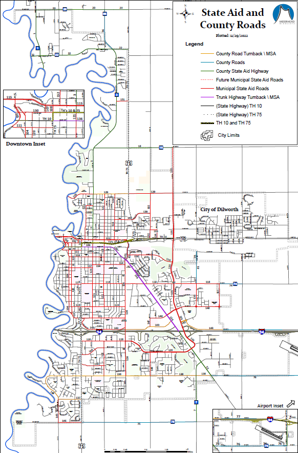 This Map displays State Aid Roads along with road numbers in the City of Moorhead. This State Aid Map became effective on December 1st 2022. This Map displays State Aid Roads along with road numbers in the City of Moorhead. This State Aid Map became effective on December 1st 2022.
|
|
| |
Effective FEMA FIRM (Floodplain) Map
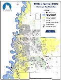 This Map displays the Floodway, 100 Year Floodplain, and 500 Year Floodplains for the City of Moorhead. This Flood Insurance Rate Map (FIRM) became effective on April 17th 2012. This Map displays the Floodway, 100 Year Floodplain, and 500 Year Floodplains for the City of Moorhead. This Flood Insurance Rate Map (FIRM) became effective on April 17th 2012.
|
|
| |
City of Moorhead Map
 An 11x17 inch map which provides a general overview for the City of Moorhead. An 11x17 inch map which provides a general overview for the City of Moorhead.
|
| |
Zoning District Map
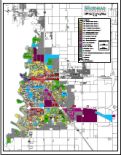 The Zoning Map illustrates the zoning districts within the City, according to the City’s zoning ordinance. The Zoning Map illustrates the zoning districts within the City, according to the City’s zoning ordinance.
|
|
| |
Annexation History Map
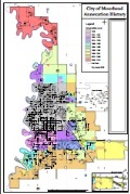 This map lists and displays all of the Annexations for the City of Moorhead. This map lists and displays all of the Annexations for the City of Moorhead.
|
|
| |
Garbage Day Collection Map
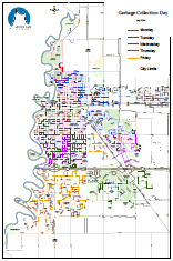 Map showing which day of the week garbage is collected in the City of Moorhead. Map showing which day of the week garbage is collected in the City of Moorhead.
|
|
| |
Recycling Collection Day and Week Map
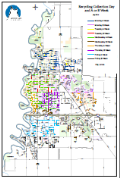 Map showing the day and A or B Week that Recycling is collected in the City of Moorhead. Map showing the day and A or B Week that Recycling is collected in the City of Moorhead.
|
|
| |
Recycling Drop-Off Locations
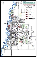 Map of Recycling Drop-Off locations in the City of Moorhead. Map of Recycling Drop-Off locations in the City of Moorhead.
|
|
| |
Subdivision \ Addition Name Map
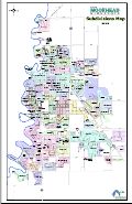 Map which displays generalized subdivision \ addition names for the City of Moorhead. Map which displays generalized subdivision \ addition names for the City of Moorhead.
|
|
| |
Ward \ Precinct Voting Location Map
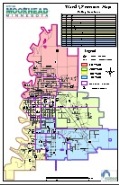 Map of the City of Moorhead's Wards and Precincts displaying polling locations. Map of the City of Moorhead's Wards and Precincts displaying polling locations.
|
|
| |
Parking Restrictions Map
 Map showing Parking Restriction for weekdays in the City of Moorhead. Map showing Parking Restriction for weekdays in the City of Moorhead.
|
| |
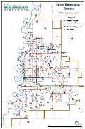
Snow Emergency Routes
 Map of Primary and Secondary Snow Emergency Routes in the City of Moorhead. Map of Primary and Secondary Snow Emergency Routes in the City of Moorhead. |
|
| |
Snow Removal District Area Map
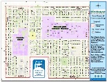 Map for the Snow Removal District enforcement in the City of Moorhead. Map for the Snow Removal District enforcement in the City of Moorhead.
|
|
| |
1987 FEMA 100 Year Floodplain Map
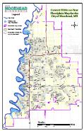 FEMA’s 1987 100-year floodplain for the City. This map expired on April 17th 2012. FEMA’s 1987 100-year floodplain for the City. This map expired on April 17th 2012.
|
|
| |
1987 FEMA 500 Year Floodplain Map
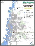 FEMA’s 1987 500-year floodplain for the City. This map expired on April 17th 2012. FEMA’s 1987 500-year floodplain for the City. This map expired on April 17th 2012.
|
|
| |
1972 FEMA FIRM for Moorhead
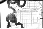 This map book is a copy of the Special Flood Hazard Areas (SFHA) that were in effect for the City in 1972. This map book is a copy of the Special Flood Hazard Areas (SFHA) that were in effect for the City in 1972.
|
|
| |
Flood 2009 Map of Protection Activities
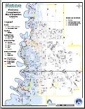 Map which displays protection measures taken by the City and the US Army Corps of Engineers during the flood of 2009. Map which displays protection measures taken by the City and the US Army Corps of Engineers during the flood of 2009. |
|
Disclaimer: This map information is made available as a public service, and is to be used for reference purposes only. The City of Moorhead, MN, makes no representation or warranties, express or implied, with respect to the use or reuse of the data provided herewith, regardless of its format or the means of its transmission. The map information is provided "as-is" with no guarantee or representation about the accuracy, currency, suitability, performance, merchantability, reliability, or fitness of the data for any particular purpose. Moorhead, MN, shall not be liable for any direct, indirect, special, incidental, compensatory or consequential damages or third party claims resulting from the use of this information, even if the City of Moorhead, MN, has been advised of the possibility of such potential loss or damage.
These maps are not a substitute for accurate field surveys.
